
Follow a Mission Street
A search along a Mission street works best as a Mission address trail, not as a roll call. Hidalgo County Appraisal District, the Tax Office, the City GIS entry point, and the County Clerk each hold a different part of that Mission record trail. Start with the street number and street name. Then preserve the returned account and legal-description details before moving to another system. The owner of record, a tax mailing address, and the people who occupy a Mission home are separate facts. A property record can help identify a parcel, but it does not establish every person at that location.
- Search Hidalgo CAD by the number and street name, then record the situs address, account, owner spelling, and legal description returned by the live result.
- Open the City GIS entry point or Hidalgo ArcGIS items to compare the address point, parcel polygon, city limit, precinct, and nearby lots.
- Use the legal description or account to narrow the Hidalgo County Clerk official-records search and locate the current owner’s acquisition deed.
- Read the grantor, grantee, recorded date, and instrument details, then search earlier records by the same legal description when a prior conveyance matters.
- For a historical address question, add newspapers, maps, tax rolls, and a verified directory holding rather than treating an owner record as an occupancy list.
That order avoids a common error: treating the tax mailing address as the Mission property location. It may be a post-office box, an agent’s address, an earlier home, or an out-of-town address. A homestead exemption can be an owner-occupancy clue, but Hidalgo’s reviewed pages do not make it conclusive proof that a particular person currently lives there.
Mission CAD Address Searches
Hidalgo CAD is the first official stop for an assessed account tied to a Mission street address. Its public instructions accept an owner name as Lastname, Firstname or Lastname Firstname, a street search, or an exact CAD account number. For Mission property research, the district specifically says to use only the number and street name. Leave out directional prefixes and suffixes, so a failed Mission address search that includes a direction or avenue suffix should be retried in the simpler form. The separate tax interface is useful for a broader Mission street term because it offers Property Address (Starts With).
| Field label | Type | Required | Options / format notes |
|---|---|---|---|
| Owner Name | Text | No, portal does not label it required | Lastname, Firstname or Lastname Firstname. |
| Address | Text | No, portal does not label it required | Mission number plus street name; omit prefix and suffix. |
| Account Number | Text | No | Exact CAD account match required. |
| First tax search term | Text | Page presents an input | Pair it with a selected search type. |
| Search type | Radio | One selection | Owner Name, Property Address (Starts With), Account No., CAD Reference No., or Fiduciary No. |
| Optional second term | Text | Optional | Owner Name, Property Address, Account No., or CAD Reference No. |
| Second search type | Radio | If second term used | Same four choices except Fiduciary No. |
| Action | Button | Not applicable | Search. |
Hidalgo CAD’s results guidance illustrates the address and owner search route. The public capture did not expose the complete parcel-card labels, historical coverage, export controls, result limits, or fees. Treat those as live-record questions, not facts to infer from the search form.
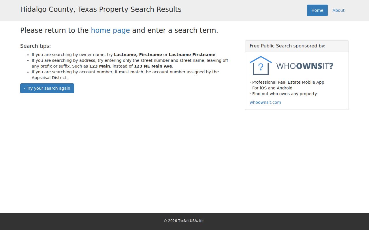
The form helps normalize a Mission address before it is carried into a parcel map or official-record index. It does not turn CAD results into a list of everyone on a street.
Mission GIS Parcel Layers
Maps add the spatial part of a Mission by-address search. The City of Mission GIS Map entry is the local route, and the county’s public ArcGIS search exposes HC_Parcel, HC_Address_Points, city-limit, incorporated-community, rural-addressing, floodplain, and precinct layers. These Mission layers distinguish an address point from a parcel polygon. They also show why a postal city label or a nearby point on a map cannot settle a Mission city-boundary question.
| Mission GIS control or layer | Type | Documented use |
|---|---|---|
| City GIS Map | Official entry link | Local map route from the City of Mission. |
| HC_Parcel | County map layer | Parcel context for a street segment. |
| HC_Address_Points | County map layer | Compares the posted address point with the parcel. |
| City Limits and Communities | Boundary layers | Checks municipal and community geography. |
| Rural Addressing, Floodplain, Precincts | Context layers | Adds mapped context without identifying people. |
| Identify, select, measure, export | Live-viewer controls | Exact labels and adjacent-parcel mechanics were not captured. |
The live controls for identify, select, measure, export, and adjacent-parcel searching were not visible in the reviewed static source. Pan along a named Mission street, note the Mission parcel or legal description where the live viewer provides it, and cross-check in CAD or the Tax Office. Do not decide that lots are adjacent just because their address points look close together. A road right-of-way, drainage canal, irregular boundary, or corner parcel can change the relationship.
The Hidalgo County ArcGIS item search shows the county parcel and address-point layer context used for a street segment.
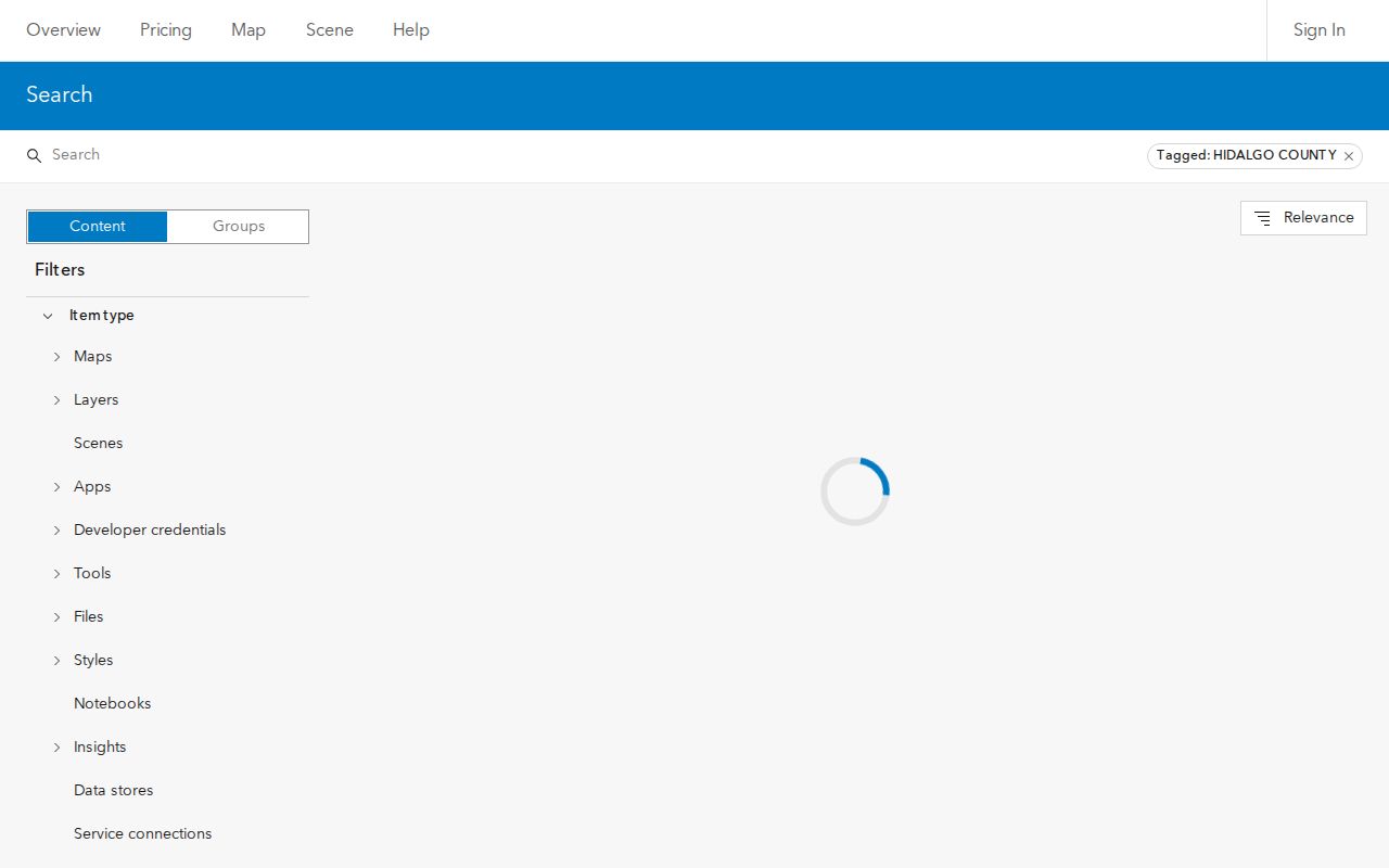
Use the map as a locator, then rely on the returned property identifiers for record matching. Floodplain, precinct, and boundary layers describe geography, not household membership.
Mission Street Search Tip
Insider tip. The two county property systems do not ask the same question. CAD’s documented Mission address rule is number plus street name, while the Tax Office offers Property Address (Starts With) and an optional second term. Start with CAD when the goal is the assessed parcel and legal description. Use the Tax Office to narrow a long Mission street or compare an account, CAD reference, or owner name. The Tax Office lists its account search separately from CAD and warns users about data accuracy.
A directory or tax mailing address is a lead, not the final answer. If the question is who obtained an interest in a Mission parcel, the deed index is the stronger source. If the question is whether a record is official enough to rely on, ask the custodian for the appropriate copy. The public search screens do not state image purchase or account requirements, so no fee or image-access promise belongs in an address search.
Note: Record the date searched because assessment, tax, and deed updates can reach their systems at different times.
Mission Deeds by Address
The Hidalgo County Clerk Official Records portal is the recorded-instrument route for a Mission address. Quick Search accepts a grantor or grantee, subdivision, document type, or document number, with recorded-date fields and index-only or full-text OCR scope. Advanced Search adds Property Records and Plats departments, party roles, date ranges, document number, book, volume, page, lot, block, legal description, and a document-image phrase. Mission party entries use the documented LASTNAME FIRSTNAME format.
For a Mission deed chain, search the current owner as grantee and confirm the legal description before reading an earlier transfer. The seller on that instrument becomes a candidate grantee search in an older date range. Correction deeds, probate transfers, foreclosures, releases, corporate names, and estate names can interrupt a simple sequence. A deed records a conveyance. It does not prove every person who occupied the Mission address between transfers.
The Clerk’s Advanced Search screen displays the party, date, legal-description, book/page, and document controls available for that task.
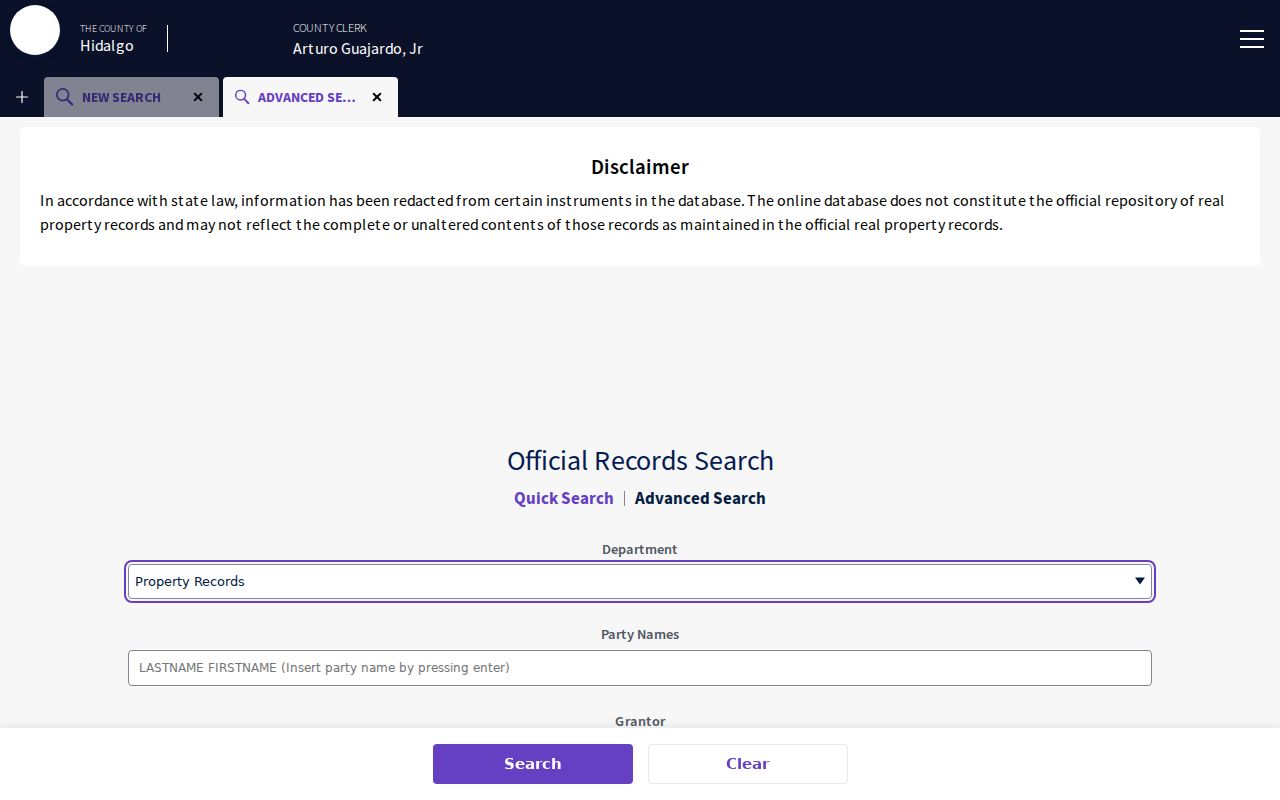
When street text does not match, use the lot, block, subdivision, or legal description from CAD rather than guessing that a different spelling means a different parcel.
- Grantor or grantee: the transferring party or receiving party indexed in the instrument.
- Recorded and instrument dates: two separate date ranges available in the portal.
- Book, volume, page, or document number: placement details that help distinguish similar names.
- Legal description: the parcel language that can outlast a street-name change.
Mission Street Record Inventory
Several Mission records can be keyed to a Mission address, but their scope differs. CAD and the Tax Office identify assessment and account trails. GIS supplies Mission parcel and boundary context. The County Clerk connects legal descriptions to recorded instruments. Mission Planning and Inspections can hold address-keyed city files, while historical Mission sources offer older context. The table keeps an owner, parcel, construction file, and historical occupant line from being treated as the same kind of evidence.
| Address-keyed record | Custodian | What it can establish | Access route |
|---|---|---|---|
| CAD parcel or account | Hidalgo CAD | Mission assessed owner, account, situs, and likely mailing or value fields, subject to the live card. | Public search |
| Tax account | Hidalgo County Tax Office | Mission owner, address, account, and CAD-reference search. | Tax search |
| Parcel and address map | Mission and Hidalgo GIS | Mission address points, parcels, boundaries, communities, floodplain, and precinct context. | City map and county ArcGIS items |
| Deed, plat, or lien index | Hidalgo County Clerk | Mission parties, dates, legal description, document placement, and OCR or image route. | Official-records portal |
| Permit or inspection file | Mission Inspections or City Secretary | Mission construction or inspection material for a specified address, if an existing file is public. | PIA request, no public index located |
| Historical tax, deed, or map material | TSLAC and UTRGV | Older Mission property and neighborhood context. | Microfilm or archive route |
That Mission record trail should be read as a chain of official and historical records. It is not a present-tense household roster. For a past household question, the carefully limited historical-directory material belongs with the Mission city-directory collections, not with a current property account.
Mission Permit File Requests
Mission Inspections reviews construction and remodeling work, including foundation, plumbing, framing, mechanical or air-conditioning, electrical, setback, sidewalk, and buffering inspections. Those are Mission address-keyed city records, not evidence of who occupies a building. No field-complete public permit or code-case search was located in the reviewed sources. A request should identify the Mission street address, account or lot/block when known, date range, and permit type so the City Secretary can seek an existing record.
The City GIS page identifies Planning at 1201 E 8th St, Mission, Texas 78572, with phone (956) 580-8650 for map and planning questions. The city map is informational and periodically modified. Use it to orient a request, but confirm permit records through the proper city channel rather than relying on a static map impression.
Mission’s official map page provides the city GIS route and Planning contact information.
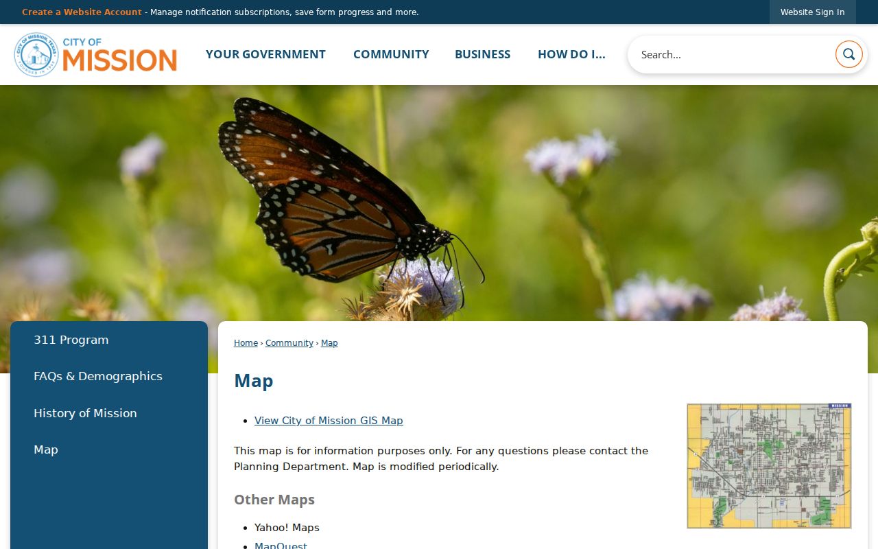
The municipal map connects a street search to planning geography, while a PIA request is the documented fallback when a public permit register is unavailable.
Mission Street History Sources
Older Mission street research needs a different chain. The TSLAC Hidalgo County inventory documents direct and reverse deed indexes, original deed books, Spanish-transcribed deeds, marriage and probate records, court minutes, and tax-roll microfilm. Mission Deed Record coverage is documented for 1852 to 1888, with a supplement for 1880 to 1912 and Spanish-transcribed material from 1852 to 1896. The online Clerk portal is current through August 24, 2026, but it does not state its earliest online year.
That gap matters for an old Mission address search. TSLAC identifies UTRGV Edinburg as the regional depository and gives archives contact information for the historical route. Maps, newspaper notices, and legal descriptions may bridge an address that appears under a rural route, a subdivision name, or a different abbreviation. There is no verified Mission-wide renumbering chronology. Do not invent one. Use lot and block, plats, adjoining parcels, map sheets, and deed dates instead.
Note: A historical index gap is an access limitation, not proof that no record was created.
Mission Voter Address Myth
Myth. A sample-ballot match is not a list of every person at a Mission address, and no match does not prove that someone never lived at a Mission home. Hidalgo’s sample-ballot form asks for first name, last name, and month, day, and year of birth. It is designed for ballot information, not for a Mission street-range search. The Texas SOS self-service tool is for a voter’s registration and polling-place information, and the reviewed dynamic form did not support a claim that it can search an arbitrary household.
Formal voter-file production follows a different route. The state request form can select counties, districts, precincts, and certain reduction fields, but the inspected form does not show a Mission ZIP or street filter. Texas rules distinguish public voter fields from confidential SSN, driver-license, personal-identification, and protected-address information. Ballot choices are not public. A protected voter may have a substitute or suppressed residence, so an alternate address should not be called an error.
Mission Street Terms Defined
Property systems use different names for the same place. These terms help keep a Mission by-address search precise when an address is carried from a map to a tax account and then into a deed index.
- Parcel
- A mapped tract of land used for assessment and property-reference purposes.
- Situs address
- The physical address where a parcel or building is located, distinct from an owner’s mailing address.
- Plat
- A recorded subdivision or survey map that links lots, blocks, streets, and legal descriptions.
- Criss-cross directory
- A reverse directory arranged by address rather than by name; no verified Mission run was located.
When a modern Mission address changes form, the legal description and plat are usually stronger matching tools than punctuation or a directional suffix. In older Hidalgo material, a Spanish-transcribed deed or metes-and-bounds description may not use a current Mission street address at all.
Mission Street Research Limits
These Mission property, Mission map, and Mission recorded-document sources can supply clues, but they cannot safely fill in private household details. Utility customer lists for Mission, delivery data, and motor-vehicle address data are not public substitutes. A Mission tax owner can live elsewhere. A Mission deed can remain relevant long after a move. A Mission newspaper mention or historical directory line needs its date and context. Ask the custodian for the Mission record that answers the narrow question instead of combining partial matches into a claim about a person.
County Clerk staff can supply certified copies and explain the correct department for a Mission property record. For old Mission books, TSLAC and the UTRGV depository are documented alternatives when an online search does not reach the needed period. Those channels provide a better answer than assuming that every needed Mission historical street record is online.