
Mission Neighbors by Block Source
Public records can describe the parcels around a Mission address, but they do not create a complete list of people around a block. The reliable trail moves from a map or address point to an account or legal description, then to CAD, tax, deed, plat, and legally permitted city or election records. Each layer has a different purpose. A property owner can receive mail elsewhere, a map point may not identify a current occupant, and a community contact is not a member roster.
| Source | What It Shows About a Block | Access |
|---|---|---|
| Mission City GIS and county ArcGIS | Mission address points, parcel context, boundaries, floodplain and precinct layers | Public map entry and county item search |
| Hidalgo CAD | Mission parcel or account and assessed-owner search, with address-format guidance | Public search |
| Hidalgo Tax Office | Mission owner, property-address, account, CAD-reference and fiduciary search routes | Public interface with accuracy caution |
| County Clerk deed and plat index | Mission legal description, lot or block, recorded conveyance, and subdivision trail | Public index; copy terms need confirmation |
| Mission Planning and Inspections | Mission zoning, subdivision, permit, and inspection context tied to an address | City pages or a focused PIA request |
| Speer archive and local collections | Mission historical events, neighborhood vocabulary, notices, and address context | Archive, library, or appointment route |
The difference between owner of record and resident matters on every row. A tax mailing field can point to an agent, post-office box, or prior location. A deed documents a transfer, not every person who occupied the place. Keep the parcel, legal description, source date, and purpose together before drawing a conclusion about a Mission block.
Mapping Mission Neighbor Parcels
The Mission adjacent-parcel method begins at the parcel or address point, then expands only to the polygons that actually touch it. The static Mission research source did not expose live identify, buffer, measure, select, or export controls, so those tools should not be assumed. If the Mission map has an address search, use the street and number. Otherwise, move to the known map extent and use the Mission address-point layer. A Mission plat is important where an alley, drainage canal, irregular lot line, or corner parcel makes the phrase “next door” unclear.
- Locate the subject Mission address on the City of Mission map or a Hidalgo County parcel layer, then note the parcel or legal-description information available.
- Pan and zoom only to the adjoining Mission polygons. Record north, east, south, west, or a numbered adjacent parcel, plus road or right-of-way context.
- Search each Mission account or legal description in Hidalgo CAD or the Tax Office, keeping the assessed owner separate from any mailing clue.
- Use the County Clerk's deed and plat index to confirm the Mission legal-description trail. For a whole named street, use the Mission By Street directory.
The Mission flow is address → map point or parcel → account or legal description → CAD or tax record → deed or plat. It is a Mission block-geometry process, not an inference about every person nearby.
Note: Confirm a block's orientation with the plat because a map display alone can make adjoining property seem more certain than it is.
Mission Neighbor Block Layers
Mission is in Hidalgo County, while Edinburg is the county seat. Mission parcel boundaries, incorporated city limits, precincts, floodplain lines, postal areas, and Census ZCTAs are separate geographic layers. A Mission boundary can help explain which office is relevant, but it cannot identify a person. County ArcGIS listings include Mission parcel, address-point, incorporated-community, floodplain, and precinct context. The City of Mission GIS page is a Mission map entry point rather than a documented parcel-card database.
Use the Mission City GIS view to orient the address, then use the Mission account or legal description in the custodian's own system. The County Clerk advanced search accepts property-record, plat, party, date, document, and legal-description routes. It can therefore connect a Mission lot or block to recorded instruments even when a street label is inconsistent. The current portal is certified through August 24, 2026, but it does not state the earliest year of its online index.
[INSIDER TIP] Mission Neighbor Address Search
[INSIDER TIP] Hidalgo CAD advises an address search with the number and street name only, omitting directional prefixes and suffixes. A failed search for an abbreviated or directional version should be retried in that simpler form, then checked against the returned situs address and legal description. The separate Tax Office permits Property Address (Starts With), Owner Name, Account No., CAD Reference No., and Fiduciary No. searches, including an optional second term.
The Hidalgo County Tax Office search is shown below. Its own page warns that the Mission information may not be accurate or complete, which is why a result needs a deed or plat check before it is used to describe a Mission block.
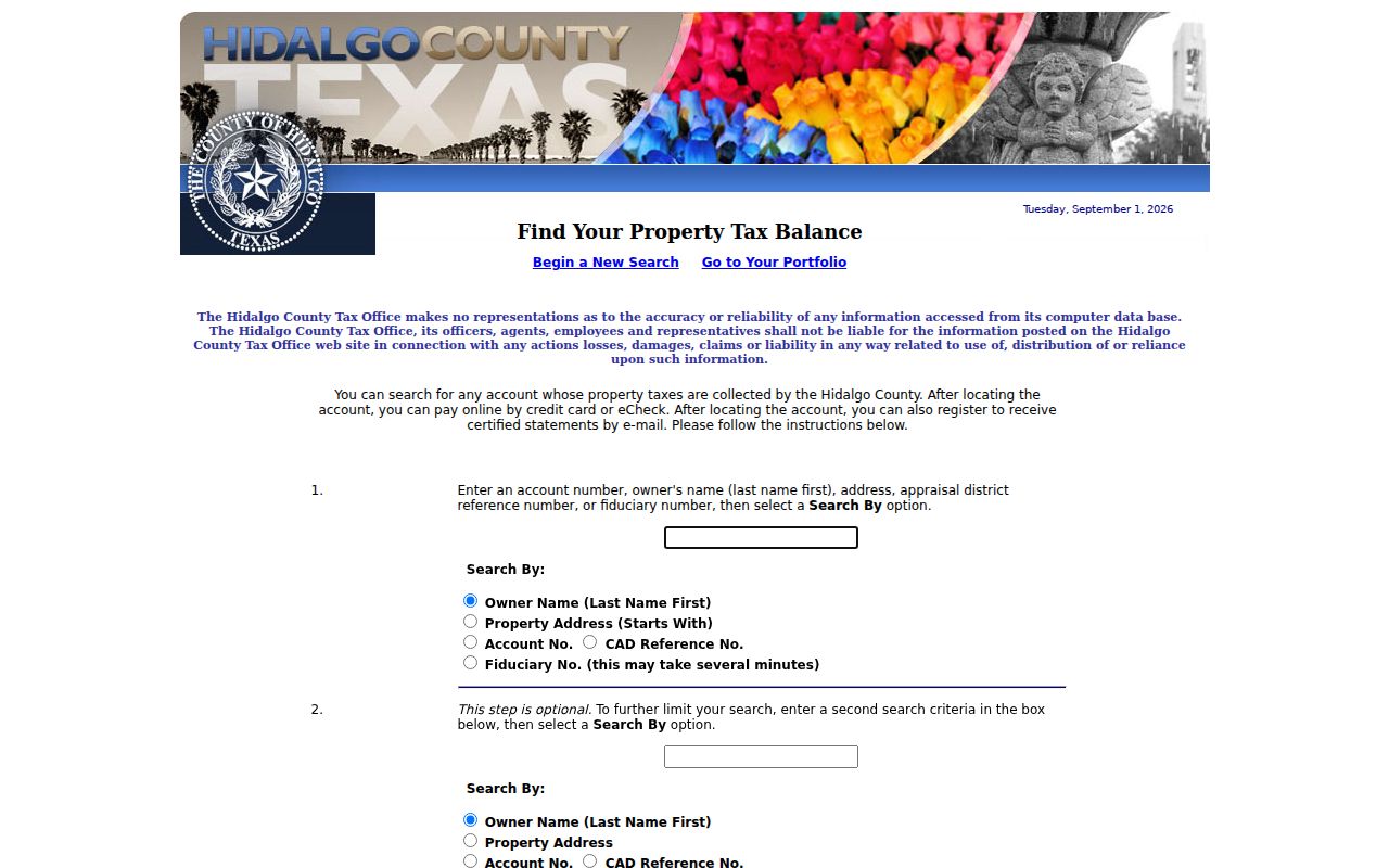
The search choices help find a related account, but a tax record's mailing information does not prove that a named person lives at the parcel.
Mission Neighbor Address Files
Mission Inspections reviews new buildings and remodels, including foundation, plumbing, framing, mechanical or air-conditioning, electrical, setback, sidewalk, and buffering inspections. These are Mission address-keyed facts, not an occupancy roll. No public, field-complete Mission permit or code-case search was found in the reviewed city pages. A useful request identifies the exact Mission address, account or lot and block, date range, and type of existing permit, inspection, or code file sought.
The Mission Inspections page provides the city scope and contact route used for address-related building records. It is a better starting point than assuming that a map label reflects the date or type of work.
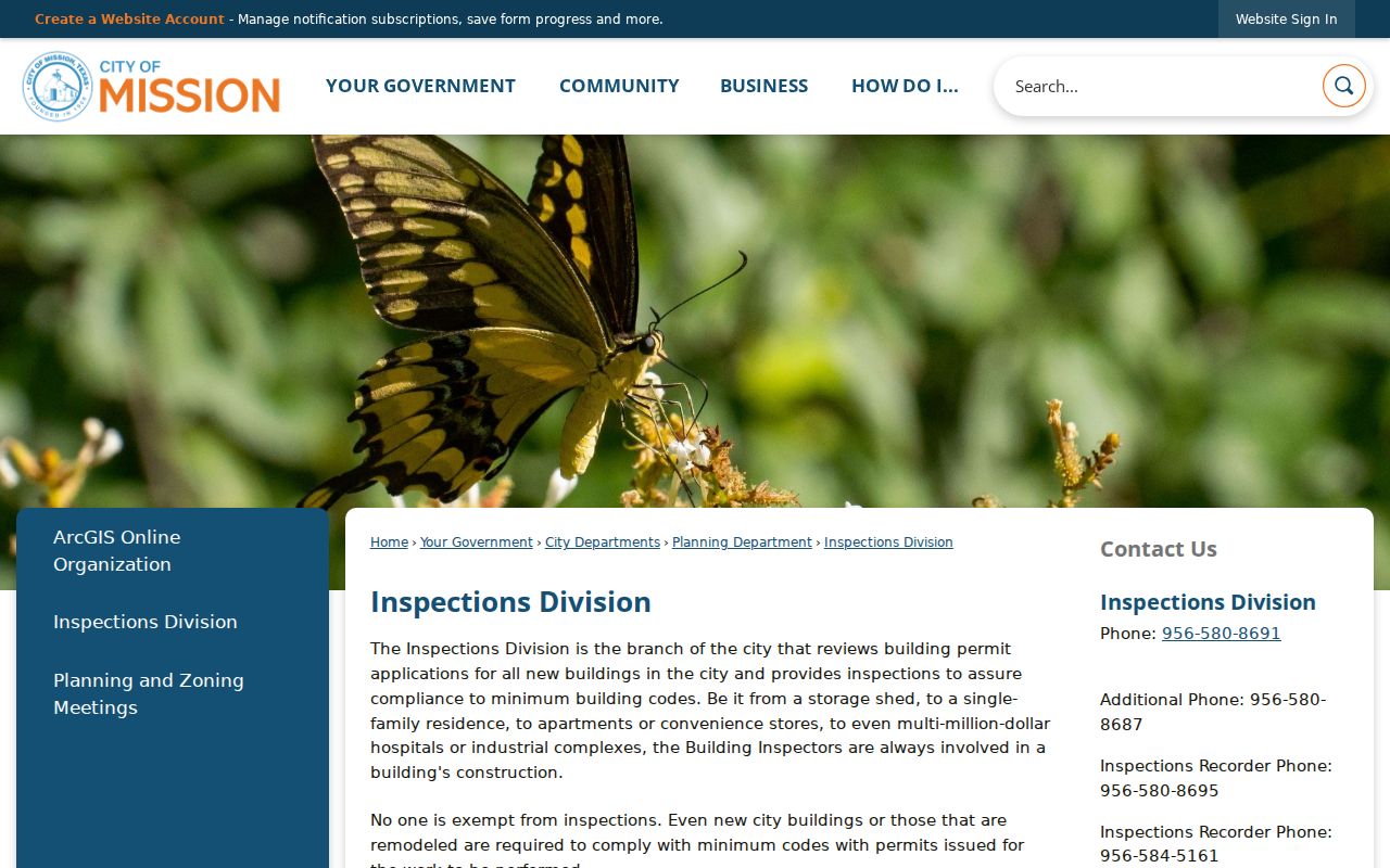
Use a focused Texas Public Information Act request for an existing Mission file when the public page does not offer a search interface, and expect any disclosure limits to remain in force.
Note: A permit, inspection, or code record can date work at a situs address but cannot identify all people associated with that address.
Mission Neighbor Contact Routes
No official Mission neighborhood-association or HOA directory with member names was located. That absence is important. City Planning and GIS layers can identify subdivisions and boundaries, but neither establishes an association membership list. A public meeting contact or governing-document filing is different from a private roster. Use the named local resources below for public history, referrals, or general community context, without treating any of them as a directory of people around Mission blocks.
| Mission Planning | Planning Department offers zoning, subdivision, and city-development routing. It does not publish a verified association roster. |
|---|---|
| Speer Memorial Library | Library reference services can help locate local-history materials. Exact directory and yearbook holdings need confirmation. |
| Mission Historical Museum | Collections and research appointments support community-history work through documented local materials. |
| Greater Mission Chamber | Public community and member route, phone (956) 585-2727. Membership is an affiliation, not a resident list. |
| FamilySearch Mission Center | Appointment-based research help at 3107 N Bryan Rd, Mission, with English and Spanish assistance. It is a family-history route, not a block roster. |
The Mission Planning Department page below is useful for Mission subdivision and zoning context, while the research found no official association directory to place beside it.
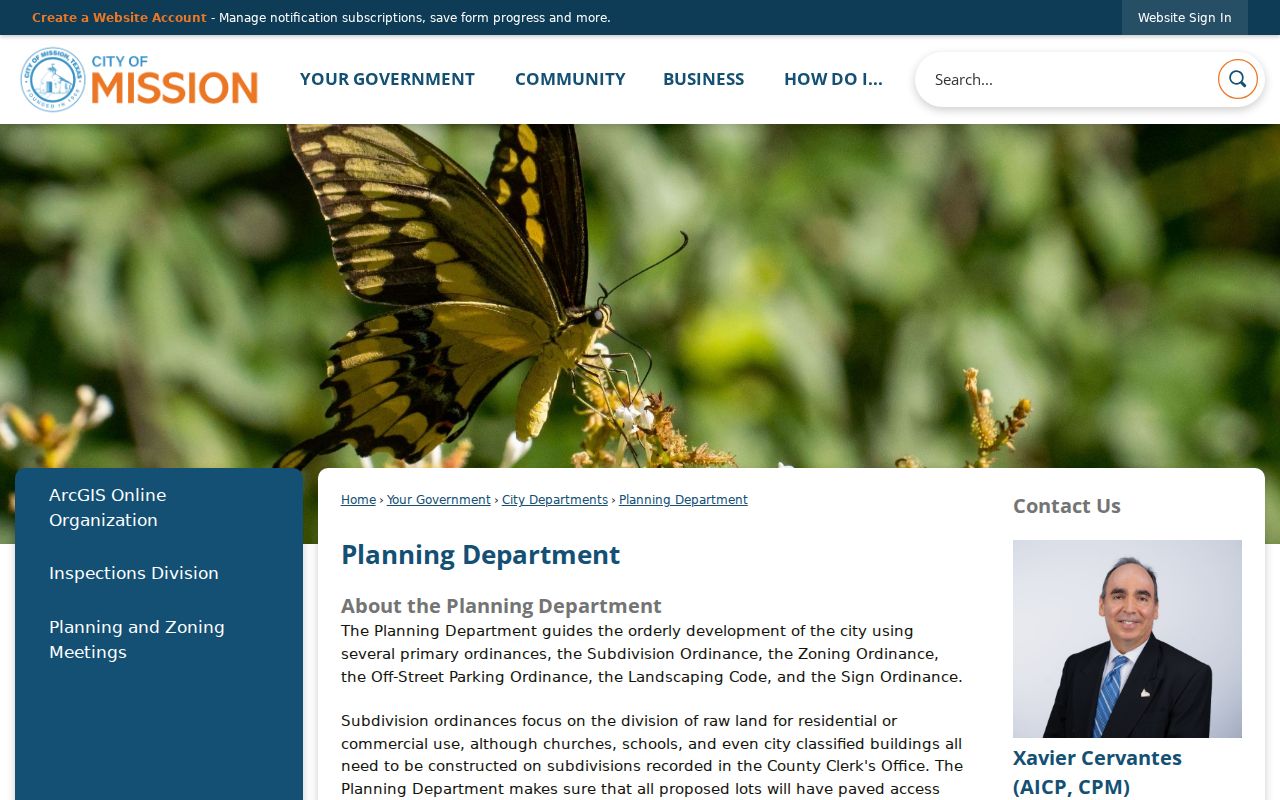
Use only an association's own official public contact source when one is verified. Do not turn historical collections, subdivision names, or public contacts into a claim about private membership.
Mission Neighbor Source Comparison
Official parcel and record systems identify their custodian, date, and record type. Commercial neighbor-lookup categories can mix public filings, marketing data, phone or address histories, and purchased datasets. That difference matters most on a block, where a stale address, shared name, or mailing address can attach the wrong person to the wrong parcel. Official systems still have limits, but those limits are visible and can be checked with the office that holds the record.
| Official record route | Commercial neighbor category |
|---|---|
| Names the source custodian and usually supplies a parcel, legal description, case, or record date | May combine data from different dates and sources |
| Allows a focused request or clerk confirmation when online material is incomplete | May have recurring fees, stale profiles, or opt-out processes |
| Still excludes protected addresses and restricted records | Does not overcome voter, motor-vehicle, utility, or household privacy limits |
For a Mission block, the official method remains parcel or GIS → CAD or tax → deed or plat → legally permitted election, city, archive, or community request. Stop at the point where the record's purpose and access rule stop.
[MYTH] Mission Neighbor Voter Search
[MYTH] The Hidalgo sample-ballot lookup asks for one person's first name, last name, and date-of-birth month, day, and year. It is not a map, street-range, or household search. A formal county or statewide voter-file request can have county, district, precinct, address, effective-date, and status options, but Texas Election Code §18.009 prohibits commercial advertising or soliciting use. Voted-election participation is different from ballot choices.
Texas guidance keeps SSN, driver-license, DPS personal-identification, and protected-address information confidential. Protected voters may have a substitute address or a suppression marker. Do not use a missing result as proof that someone never lived on a Mission block, and do not try to fill a protected-address gap from neighboring records.
Mission Neighbor Block Worksheet
A short worksheet makes a neighbor search more accurate and easier to recheck later. Start with the subject parcel, then list north, east, south, and west or the specific adjoining parcel numbers. Add the legal description, road or right-of-way, city-limit status, floodplain or precinct context, owner of record, source date, and any needed follow-up office. This structure also makes clear when a corner, canal, alley, or irregular lot makes a direct adjacency claim uncertain.
For historical context, Speer newspapers can surface block events, civic meetings, notices, and neighborhood names. Search both a name and street, then inspect the page image because OCR can alter accents, initials, and abbreviations. The Mission Historical Museum and UTRGV or TSLAC provide additional context for older property records, without substituting a historical mention for a current resident claim.
Mission Neighbor Privacy Limits
Texas Public Information Act requests apply to existing government records, subject to exceptions. They do not unlock confidential vital records, sealed court material, juvenile files, motor-vehicle data, protected voter information, utility data, or the actual address of a person in the Texas Address Confidentiality Program. The program uses a substitute post-office box and mail forwarding for eligible people. Do not attempt to reverse that protection through GIS, tax, voter, directory, or adjoining-parcel inferences.
Lawful use. Use Mission neighbor records for personal, lawful research and community context. Never use a parcel, address, or record trail to stalk, harass, intimidate, or harm another person.
Where a record is stale or seems mistaken, contact the custodian for its correction process. Public availability never removes the need to respect the record's date, the person it actually names, and the privacy boundary that applies to it.